
Play the street you live on
Rezone your block, fix the bus line and see whether downtown pays for itself. Your first district is free.
PRODUCTS / GEOFRAME

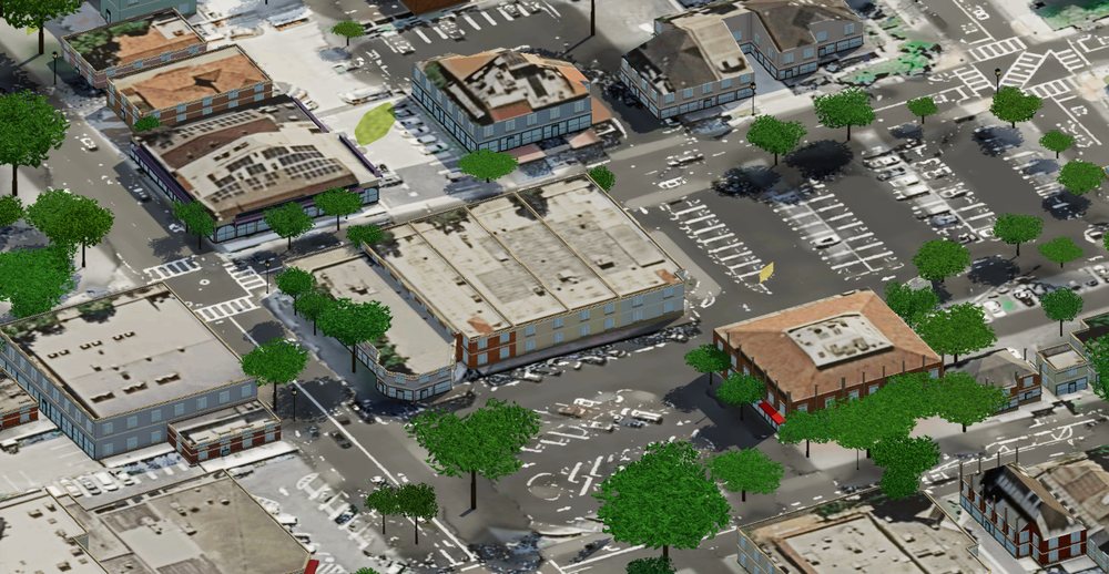
GeoFrame turns a square kilometre of the real world (its streets, building footprints, terrain and trees) into a city you can play, plan and rebuild in your browser.
WHY GEOFRAME
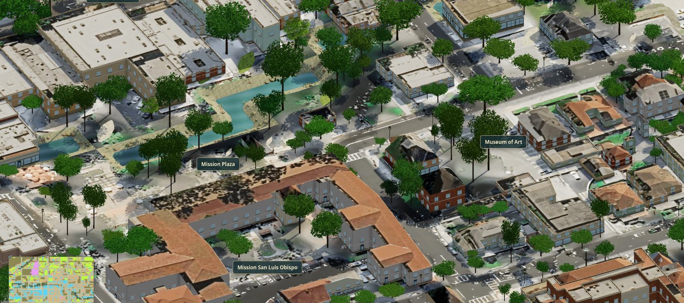
Every GeoFrame district starts from the place as it stands: the corner you walk past, the plaza with the mission, the parking lot everyone complains about. Then the simulation takes over: zoning, jobs, housing, utilities, transit and a working economy.
It's what Frame Analytics does for field equipment, applied to a neighbourhood. We take real-world data, give it a working model, and keep track of what we measured and what we estimated.
THE REALITY PIPELINE
Drag a square anywhere on Earth. GeoFrame fits it to the local street grid and quotes the build before you commit.
Footprints, streets and water from OpenStreetMap. Terrain, roof heights and individual trees from a 0.25 m solar surface model.
Buildings keep their real outlines and courtyards. Facades take their colours from street-level imagery, and every value records where it came from.
Open it in the browser or on your phone. Each district keeps its own save, so you can switch between towns without losing progress.
WHO IT'S FOR
Rezone your block, fix the bus line and see whether downtown pays for itself. Your first district is free.
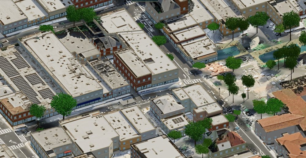
Get a walkable 3D model of a neighbourhood for an infill study or a public workshop in hours, not weeks. It's a sketch tool and doesn't replace a survey.
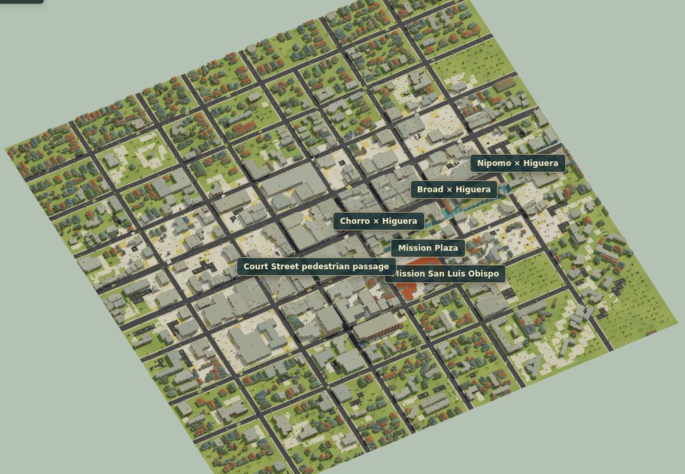
Students build in their own town and see tax, housing and transit trade-offs play out on streets they recognise.
PRICING / PER DISTRICT, NO SUBSCRIPTION
PAYMENT BY STRIPE · ONE CHARGE PER BUILD · FAILED BUILDS REFUNDED AUTOMATICALLY · PAID PRICES DEPEND ON AREA AND ARE SHOWN EXACTLY BEFORE CHECKOUT
WHAT WE CLAIM / WHAT WE DON'T
YOUR TOWN IS WAITING